
Leonida Profile
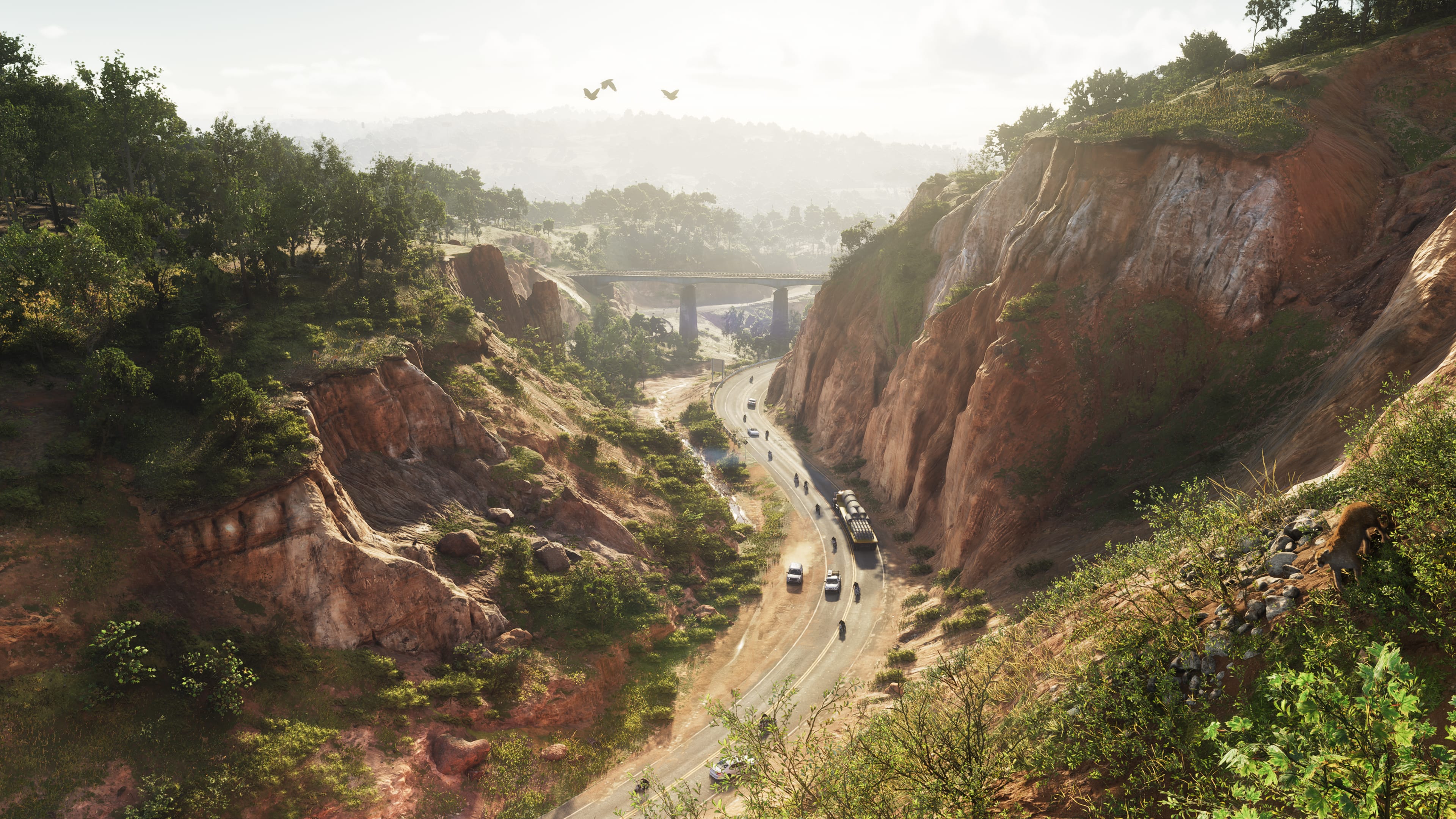
Mount Kalaga is the mountain. Leonida is defined by it. The summit is the furthest point from the coast, the highest point in the state, and the position from which the entire map is visible. Everyone ends up here eventually. There's always a reason to go there. High ground always gets used.
The mountain sits within the Mount Kalaga National Park jurisdiction, which means the approach terrain is protected wilderness. Trail access rather than road access for the upper slopes. The lower approach has road infrastructure connecting to the Vice County network.
Real Florida doesn't have mountains like this. Leonida took the liberty anyway, and the elevation change is exactly why it works: you can actually see how big this state is from up here.
On the Ground
High elevation in Leonida creates sniping geometry, pursuit escape geometry, and the specific kind of chase sequence that vertical terrain enables. The summit of Mount Kalaga is a position, not just a location. It is the highest ground in Leonida and all the tactical implications that follow from that.
The slope terrain is the transition zone. The road stops. The trail continues. The trail eventually stops. Above that, it's open rock and whatever you can cover on foot. Helicopters are the viable alternative to on-foot upper slope access.
The National Park designation on the surrounding terrain means the access roads are present but not built for high-speed movement. The approach routes are wide enough for vehicles but not optimized for the kind of speed that puts distance between you and what is behind you.