
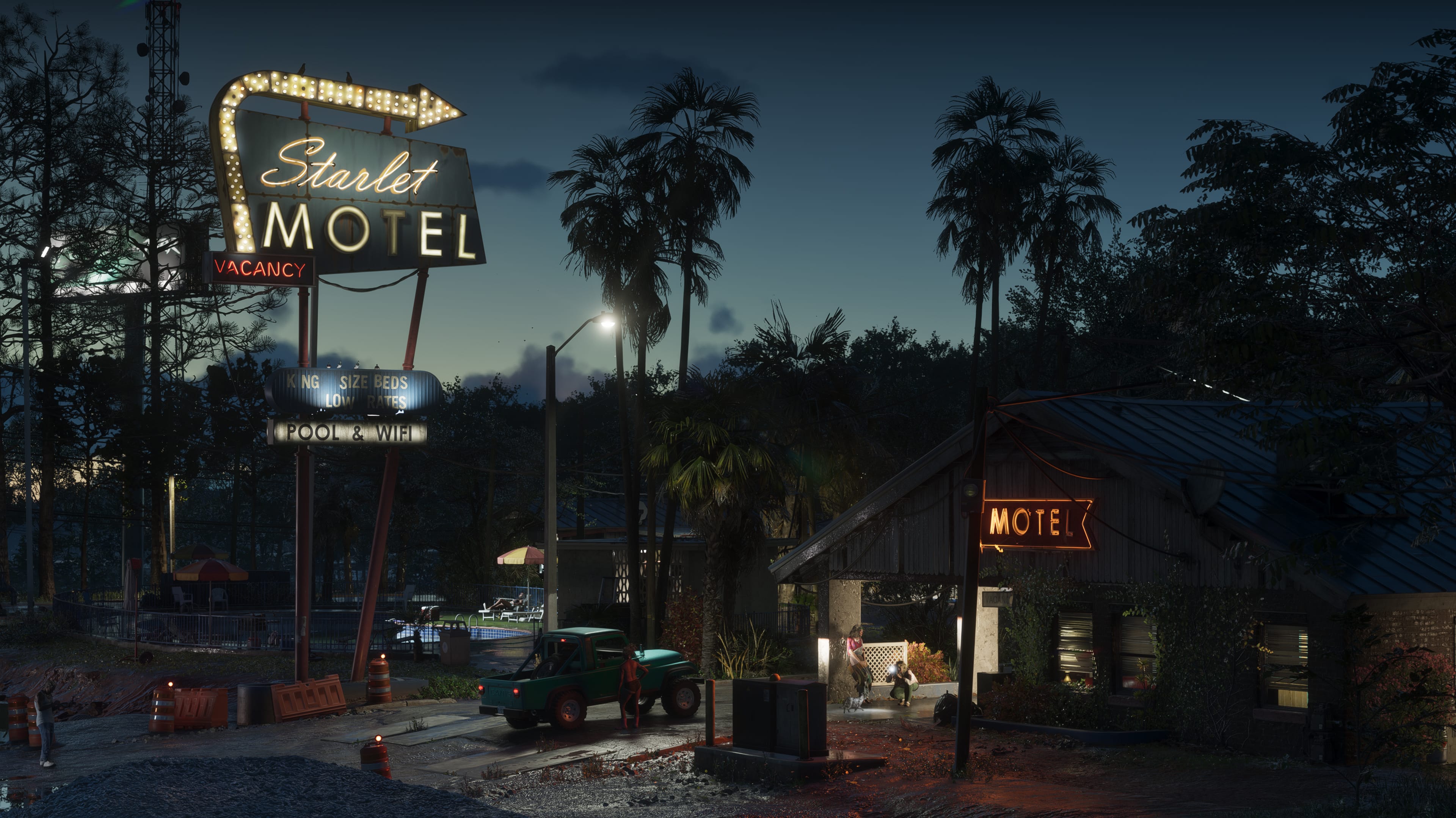
Port Gellhorn in GTA 6
Back to Locations Index
Location File

Port Gellhorn

Leonida's working waterfront. The port that moves the cargo Vice City consumes and does not ask where it came from. Docks, warehouses, marshland, and the operational vocabulary that goes with all three.

Type
Industrial Port Town
Commercial port and logistics hub on the Vice County coast. The point where maritime supply chains connect to the road network.
Territory
Docks and Wetland Margin
Port infrastructure to the south and east. Marshland and the Grassrivers wetland system to the north and west. Limited residential.
Economy
Logistics and Maritime
Cargo handling, warehousing, and the commercial shipping that supplies Vice City's consumption economy. Secondary: fishing and boat services.
Law Enforcement
Moderate
VCPD and State Police present near the commercial port perimeter. The marshland access roads have minimal patrol coverage.
Port Gellhorn on-file photo, GTA 6

Leonida Profile

Port Gellhorn is where the goods arrive. Not the finished goods that end up in Vice City shop fronts and hotel minibar fridges. The raw input: cargo containers, fuel tankers, refrigerated freight, and the categories of shipment that do not appear on the manifest the port authority receives. The docks operate around the clock and the workforce that runs them asks the correct number of questions for a port that wants to stay operational.

The town behind the port is the industrial support layer. Warehouses, vehicle storage yards, fuel distribution facilities, and the businesses that service the people who work in all of those. Delights Port Gellhorn is the venue that handles the social end of this demographic. Brian's Boat Workshop handles the marine end.

The marshland on the western and northern edge of the town is where Port Gellhorn meets the Grassrivers system. The transition from industrial infrastructure to wetland is abrupt and useful. The road network does not extend into the marshland. The waterways do.

Maritime Access
Boat approach from the water bypasses the road perimeter. The dock service infrastructure has working access points.
Exit Routes
North via the marshland waterway network. East via the commercial highway toward Vice City. Both are usable depending on what is behind you.
Cover
Container stacks and warehouse structure provide significant cover within the port perimeter once inside.
Response
VCPD response to the port area is faster than the marshland margin. The waterway exit buys distance from the road network entirely.

On the Ground

The port perimeter is the primary access challenge. Fencing, lighting, and some form of active security on the main gate. The waterline is a different situation. The docks have service access from the water that the perimeter control does not fully address.

Warehousing in the inland zone is the most accessible target type. Large footprint, limited sightlines, and a workforce that operates on shift patterns that are predictable. The vehicle yard adjacent to the main warehouse cluster has multiple access points.

The marshland access route is the exit that works when the road network is compromised. Slow and wet, but it connects to the Grassrivers waterway system, which connects to multiple Vice County exit points that are not on the primary road network.

What's Connected

Common Questions

What is Port Gellhorn?
A working port south of Vice City. Industrial, water-dependent, and the kind of town where cargo moves without too many questions about where it came from.
Where is Port Gellhorn in Leonida?
South of Vice City on the Leonida coast. Connects the city to wider waterway routes and handles freight that doesn't always go through official channels.
What's in Port Gellhorn?
Brian's Boat Workshop, Delights, and the full industrial dock infrastructure of a working port town.
Who operates out of Port Gellhorn?
Dock workers, maritime businesses, and the kind of traffic that follows wherever shipping routes run.