Leonida Profile
The National Park is the protected zone that surrounds Mount Kalaga on the approach from the Vice County side. The park boundary is where the road infrastructure transitions from conventional road to trail-quality access. Inside the boundary, the land is managed wilderness.
The park serves a dual function in Leonida. For the civilian population, it is outdoor recreation infrastructure: trails, campsite access, the wildlife viewing that comes with managed wilderness. For anyone who needs the wilderness for different reasons, it is terrain where road-based pursuit cannot follow and aerial coverage has canopy limitations on the lower slopes.
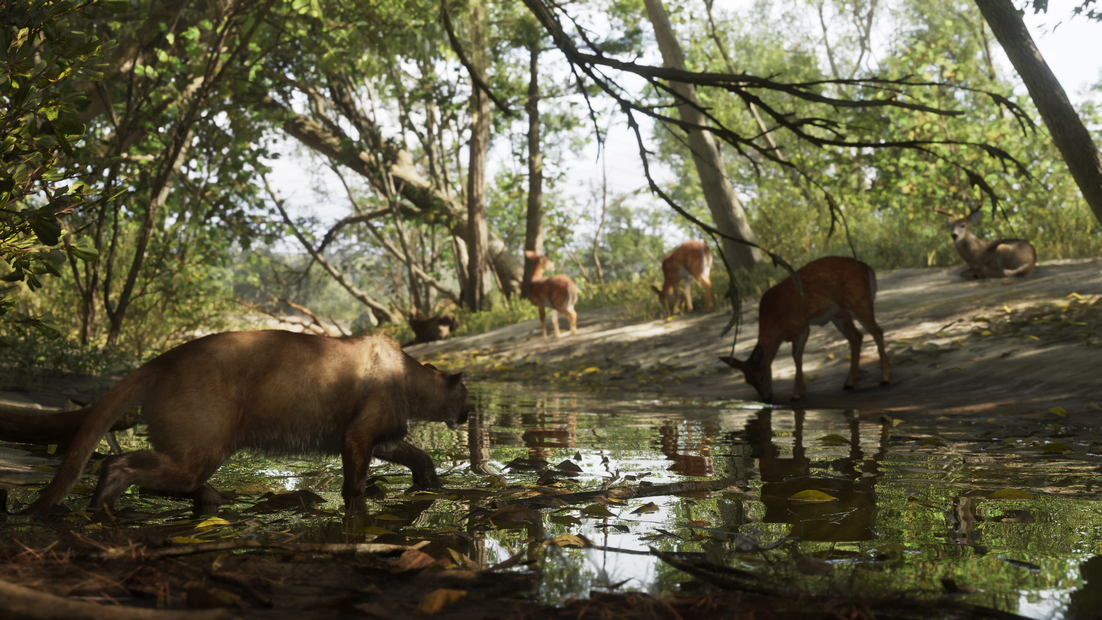
Wildlife activity within the park is significant. The Florida panther that works the Red Hill Forest margin ranges into the park too, on the lower slopes. The elevation range supports a broader wildlife population than the flat wetland or coastal zones of Leonida.
On the Ground
The park trail network is the primary access system. The trails are navigable on foot and by off-road vehicle where the width permits. Standard road vehicles lose utility quickly on the narrower sections. A motorcycle or off-road capable vehicle extends the accessible range significantly.
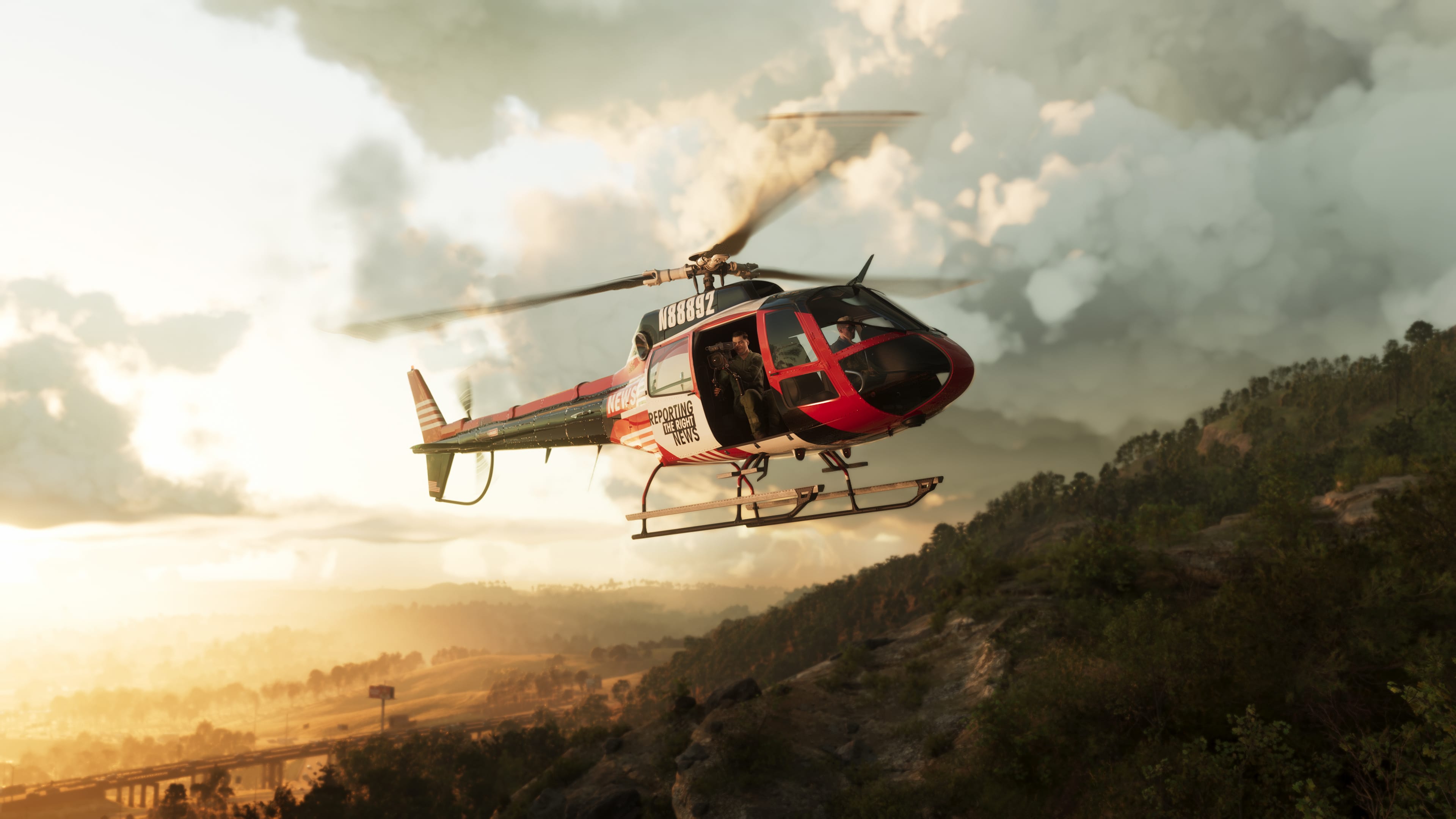
The canopy on the lower slopes limits aerial observation to the open sections of trail. The transition from forested lower slope to open rock face on the upper mountain removes the canopy cover but introduces the altitude and sightline geometry of the upper mountain.
Park infrastructure includes ranger stations at the main trail access points. These are staffed. Response to an incident within the park comes through county channels and takes longer than urban response.