
Leonida Profile
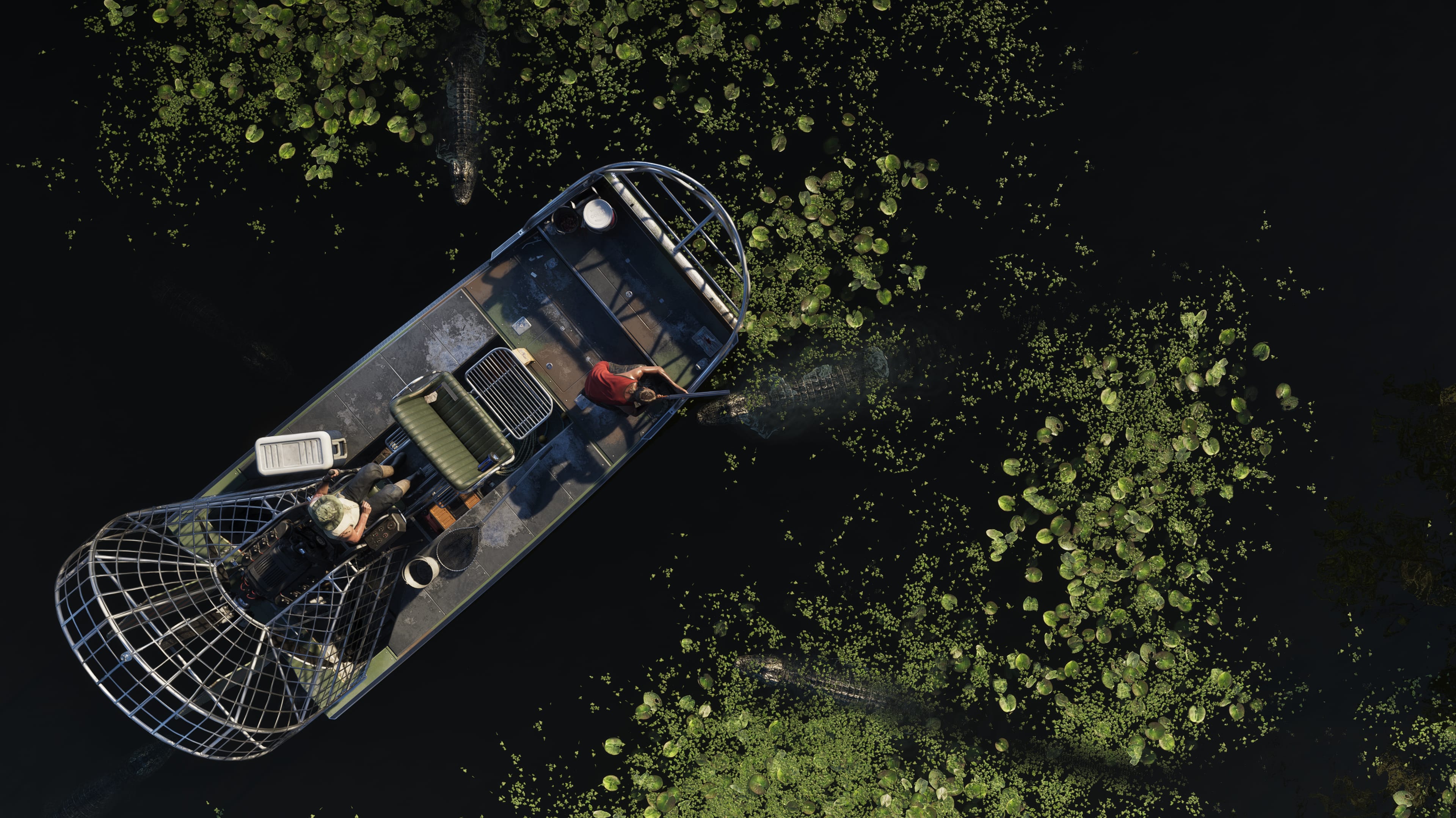
Grassrivers is the swamp. The real-world Everglades translated into Leonida's geography and given the Leonida treatment: denser, more dangerous, and more operationally interesting than the tourist version. The waterway network connects the interior of the state to the coast at multiple points without using a single road.
The alligators are real, and so are the pythons. Both show up where the wetland turns from open water to dense vegetation. Neither is decorative. Both respond to proximity.
The settlements within the Grassrivers region are scattered and small. The people who live in them have adapted to the wetland geography in the way that wetland communities do: boats instead of cars, structures built above the water level, and a relationship with the swamp that outsiders do not quickly develop.
On the Ground
The Grassrivers is one of the few environments in Leonida where aerial pursuit is compromised by canopy cover. Dense subtropical vegetation at the vegetation margin creates observation gaps that the open road does not have. A boat that enters the channel system under tree cover is no longer visible from above.
The waterway network connects to Port Gellhorn on the coast, to the Keys margin, and to multiple Vice County access points. Moving through the Grassrivers by water is slower than moving by road but it is movement that the road-based response infrastructure cannot track.
The alligator and python presence is a genuine environmental hazard in the vegetation margins and on the waterway banks. Entering the swamp on foot at the wrong time and place produces a different category of problem from law enforcement.